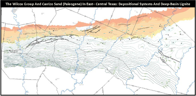
AAPG Datapages and the AAPG GIS Publications Committee wish to thank Walt Ayers, Amy Lewis and the United States Geological Survey for allowing The Wilcox Group and Carrizo Sand (Paleogene) in East-Central Texas: Depositional Systems and Deep-Basin Lignite, to be posted on Datapages' GIS Open Files page, thereby making it available to the public as a free download.
This GIS project was designed to provide digital data of the 1994 study, by Walt Ayers and Amy Lewis of the Bureau of Economic Geology (BEG), on the Wilcox Group, Carrizo Sand and deep-basin lignite of Central Texas. Texas is an important coal and lignite producing state. It is ranked sixth in the U.S. in terms of overall coal and lignite production and first in coal and lignite consumption.
This is a regional study that stretches from Anderson County, Texas in the northeast to Fayette County, Texas in the southwest. The GIS data captures individual formations in the Wilcox Group, plus the Carrizo Sand unit: maximum sand thickness, net sand thickness, lignite thickness, resistivity of maximum sand thickness (to delineate ground water movement) and percent sand.
This project was peer-reviewed, by members of the AAPG GIS Publications Committee and by the principle investigator, William A. Ambrose, and approved for publication.
Please note: This map document requires ESRI Desktop software 10.1 or higher
Click here to download the map.
